
Engineering Projects
My undergraduate engineering work focused on building robotic systems and deploying perception, mapping, and navigation algorithms on real hardware.
Intelligent Controller Integration for Heterogeneous Unmanned Systems
Science and Technology Innovation 2030 — New Generation Artificial Intelligence
Task period: June 2022 – May 2025
At Tsinghua University, I worked on SLAM deployment and system integration for a UAV–manipulator demonstration platform. The research task brought together object recognition, manipulation, and outdoor mapping to validate intelligent controllers for heterogeneous unmanned systems.
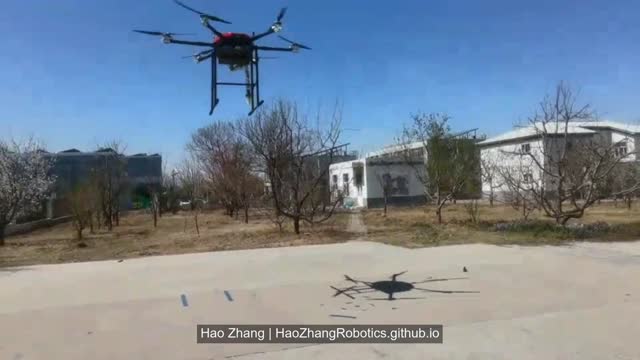
Project details and three demonstration videos
Autonomous UAV Exploration and Navigation
I developed a UAV system for autonomous navigation, obstacle avoidance, and exploration mapping using visual and point-cloud data.
My contributions
- Assembled the airframe and integrated the LiDAR, cameras, onboard computer, power supply, GPS, and flight controller, including wiring and soldering.
- Set up ground-station workflows for point-to-point navigation, takeoff, and landing, and configured remote access using SSH and NoMachine.
- Integrated a D435i camera and flight-controller IMU for VINS-Fusion localization, and deployed VINS-Mono and ORB-SLAM for visual localization and mapping.
- Deployed EGO-Planner and Fast-Planner for motion planning, and combined laser altitude measurements with 2D mapping for indoor localization and navigation.
Results: Demonstrated flight and obstacle avoidance in cluttered environments, including wooded areas, and reconstructed campus scenes in 3D.
Autonomous Ground Robot Navigation with SLAM and Computer Vision
I developed a ROS-based navigation system using LiDAR and depth cameras, with both simulation and real-world experiments.
My contributions
- Encapsulated the vehicle’s low-level Ackermann steering controls in a callable SDK and integrated navigation workflows using Autoware and move_base.
- Deployed Gmapping, Hector SLAM, and Cartographer for 2D mapping, and LIO-SAM and LeGO-LOAM for 3D mapping.
- Implemented global planning with A* and Dijkstra, along with local planning using inflated point-cloud obstacles.
- Integrated AR marker detection, KCF tracking, human skeleton tracking, YOLO-based sign detection, and gesture control; deployed RTAB-Map for visual mapping and navigation.
Results: Demonstrated map-based autonomous driving across campus on paved roads, including concrete and asphalt surfaces.
Small Projects from My First Three Undergraduate Years
A collection of early robotics demos and reproduction exercises:
- Line-following mobile grasping: A physical robot demonstration.
- PPO-based UAV gate traversal: Policy training and deployment in simulation.
- NeurIPS 2019 Drone Challenge solution reproduction: A simulated drone-racing exercise.
- Unreal Engine UAV tests: Takeoff, landing, flight paths, multi-drone control, and trajectory fitting.
- Campus scene mapping: Point-cloud visualization in RViz.
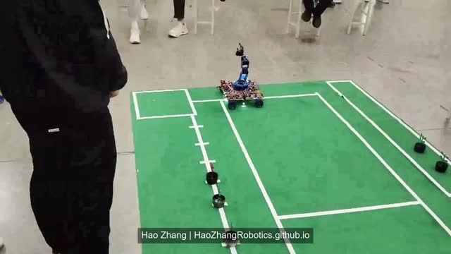
Explore five small projects and six demo videos
For collaboration or questions about these projects, please get in touch.